There is a technological progression in which we can gather and analyze more information which has been going on for more than a century. The technology now offers new possibilities.
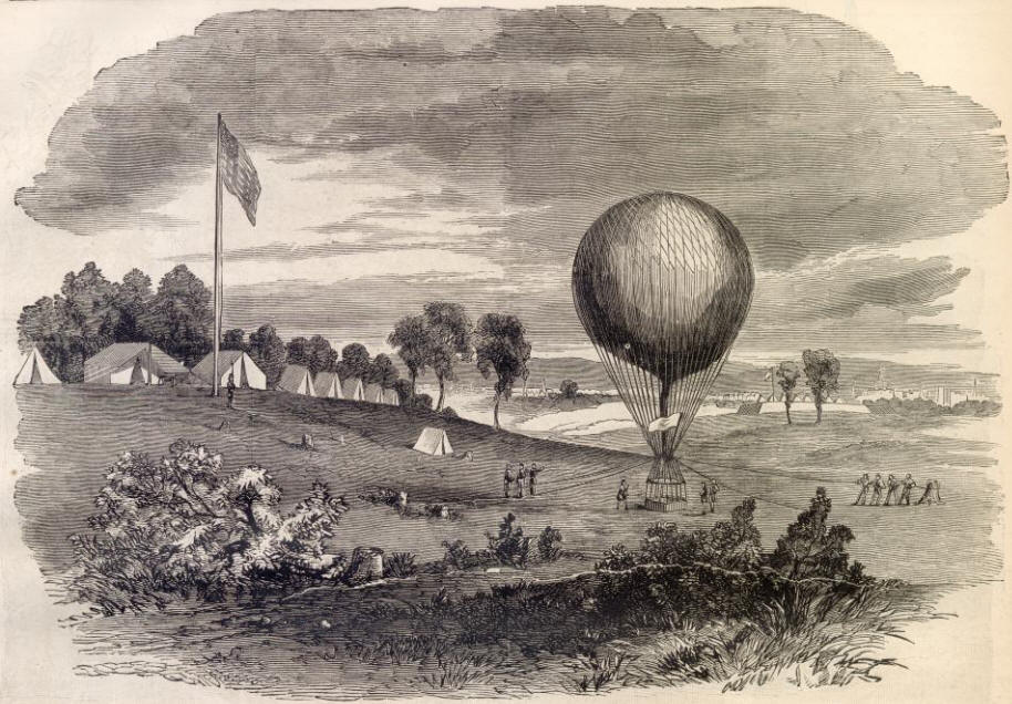 |
| Civil War Reconnaissance Balloon |
With the introduction of the space age, satellite remote sensing was developed. Images were taken from satellite altitude and transmitted to earth stations, providing huge quantities of data. Computer software was developed to analyze the data. Not only were there military applications, but satellite remote sensing provided fundamental insights on environmental degradation and revolutionized weather forecasting. Many other applications were developed.
Of course, there have been other remote data sources, such as remote weather data stations, ocean buoys, seizemic data systems, tsunami warning networks and animal tracking collars, and means to analyze the data that they provide.
More recently, the technology for remotely operated vehicles and autonomous vehicles has been developed. Especially notable, perhaps have been the military use of drones. While perhaps more press has been given to armed drones, unarmed drones designed to obtain imaging have been developed and widely used, and there is discussion of big data approaches being developed to utilize the information to achieve detailed information for strategic and tactical purposes.
Many different kinds of drones are available, with a common element of cost-effective data acquisition. Similarly, geographic information systems and other data management technologies have become affordable.
One can imagine many non-military applications in agriculture, environmental monitoring, wildlife management, policing, land use planning, public health, and other fields. As in the past there have been many useful spin offs from military technology, so too there should be useful spin offs from remote sensing drones and big data processing techniques.
No comments:
Post a Comment